Total Items: 0
Sub Total: $0.00

Wild Earth Staff // 16 Apr 2026
You don’t always need to take weeks off to have a real adventure. Some of the best micro-adventures ...
Read More

Anderson Moquiuti // 04 Apr 2026
Are you gearing up for an ultra race, like The Ultra-Trail Kosciuszko by UTMB, Ultra-Trail du Mont-B...
Read More

Lauren Clark // 28 Mar 2026
If you’ve ever searched ‘what is a PLB?’ and ended up more confused than when you started, this guid...
Read More

Lynne Martin // 20 Mar 2026
Planning the Camino de Santiago? I walked 900km on the Camino Francés to Santiago, then on to Finist...
Read More

Reid Marshall // 26 Feb 2026
This is the trip report, the hard-earned lessons, and the full packing guide of what worked, what di...
Read More

Lauren Clark // 26 Feb 2026
Duffel bags are a classic workhorse bag here in Australia for very good reason. They’re easy to pack...
Read More

Lauren Clark // 20 Feb 2026
You don’t need a passport (or a perfectly dialled kit) to find real adventure. Beau Miles’ best stor...
Read More

Lauren Clark // 30 Jan 2026
If you only upgrade a few pieces of kit this year, start here. These are the Gear of the Year 2025 w...
Read More

Lauren Clark // 16 Jan 2026
Ultralight backpacking is basically the art of minimalism on the trails. It's about bringing les...
Read More

Lauren Clark // 09 Jan 2026
Tom Turcich spent seven years walking 46,000 km across six continents, becoming the 10th person to w...
Read More

Lauren Clark // 30 Dec 2025
The best year ever doesn’t just happen; plan ahead with intention to make space for your adventures....
Read More

Hamish Lockett // 23 Dec 2025
If you’re planning a ski season in Japan this year and wondering what to pack, Hamish Lockett is her...
Read More

Adam Inglis // 05 Dec 2025
Whether your loved one is a seasoned trail runner or gearing up for their first marathon, finding th...
Read More
Lauren Clark // 04 Dec 2025
Quick answer: To remove a leech, slide a blunt edge (fingernail etc) under the small sucking end to ...
Read More

Maggie Slomiak // 03 Dec 2025
Travel is such a huge part of the modern world. We are privileged enough to be able to travel far, a...
Read More

Adam Inglis // 24 Nov 2025
Wild Earth’s Black Friday Sale is here, and if there was ever a time to treat yourself to that piece...
Read More

Lauren Clark // 17 Nov 2025
Ben Southall speaks with Elspeth Beard; a pioneer of solo motorcycle travel and the first British wo...
Read More

Elise Young // 12 Nov 2025
Struggling to find the perfect gift for the adventurer in your life? ...
Read More

Sonia Ware // 05 Nov 2025
If you love dirt trails, big views, and spontaneous camp adventures, these are my ride-or-die gear p...
Read More

Abby Koehler // 31 Oct 2025
I’ve rounded up my favourite gifts of the season - and the best part? They’re all under $100!...
Read More


Using Afterpay you can pay for your order over 8 weeks. There's no interest or added fees* and nothing to pay today. Payment will be automatically taken from your debit or credit card in four equal payments each fortnight over 8 weeks, and you will receive your order immediately.
You simply need:
To use this service simply:
Approved AfterPay buyers will require the funds for the first payment to be available on their card at time of checkout, however the first payment won't be deducted for 14 days. First time AfterPay buyers will need to make the first instalment payment at the time of their purchase.
If you wish to return your goods you can choose to receive an exchange, or the Afterpay payment plan can be cancelled before the first payment at no charge. *If you fail to have sufficient funds available for AfterPay to automatically deduct payment on due instalment dates you will be charged a late fee of $10, and if the instalment payment remains overdue, an additional $7 will be charged one week later.
With AfterPay, there's no waiting and we'll ship out your order immediately as normal.
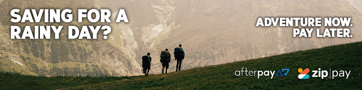
When you want to go now, sometimes it's handy to pay later. That's why, we offer interest free payment plans from two of Australia's favourite Buy now, Pay later services.